
A clearly defined issue
Slope, flow, canopy, erosion, habitat or constraints: each project starts with the result you need.
Service 03
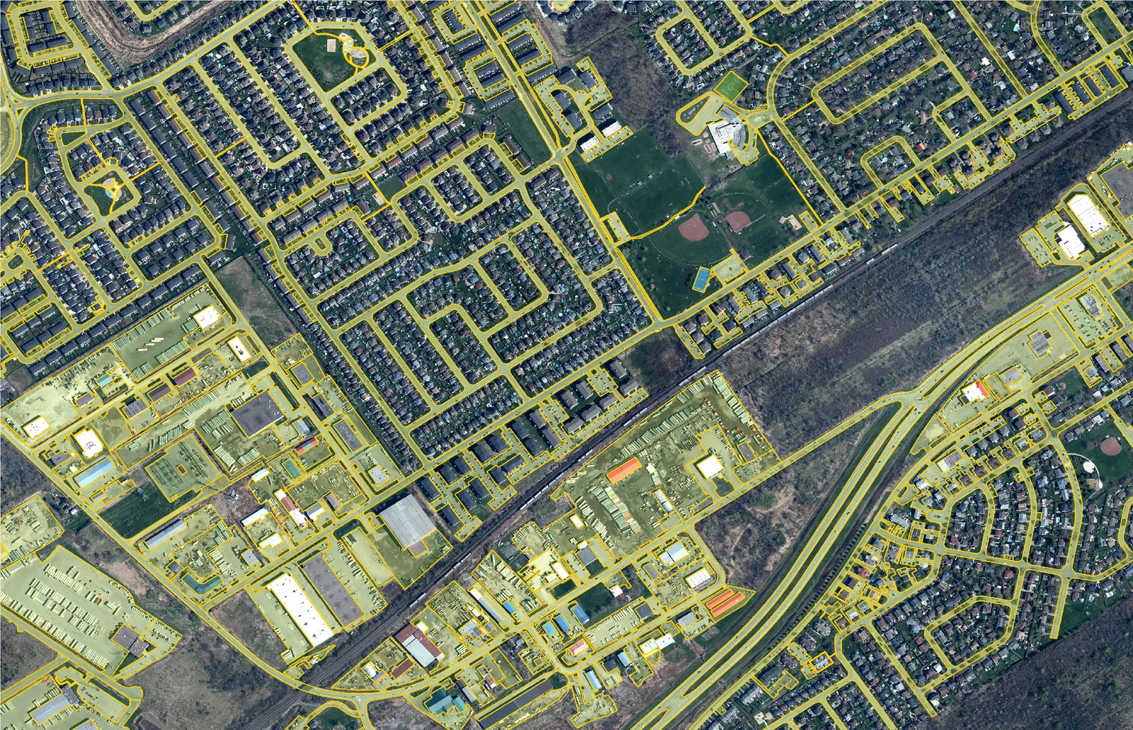
Answer a specific question about terrain, water, natural areas or regional change.
What you get
Slope, flow, canopy, erosion, habitat or constraints: each project starts with the result you need.
We choose data and methods that fit the context without creating unnecessary information.
Maps, data, figures or reports are designed to support the next step.
Custom analysis
Tell us about the decision, the region, available sources and who will use the results.