
Regional orthophotos in Montérégie and Estrie
A shared acquisition that lowers costs and supports a range of regional uses.
Projects
Regional data acquisitions, focused analysis and web platforms built for real-world use.
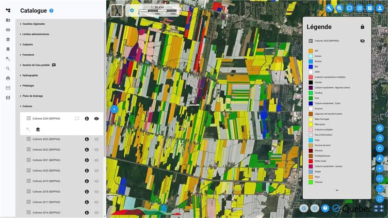
Selected projects
A shared acquisition that lowers costs and supports a range of regional uses.
A recurring LiDAR partnership tracking changes in material volumes.
A geoportal for municipal teams and the public.
Analysis to support planning decisions and bylaws.
Terrain and flow data brought together for hydrological analysis.
Maps and analysis that clarify intervention priorities.
Your project
Start with the context, the decision to make and the people who will use the deliverable.