
For municipalities
Maps and analysis for your planning and environmental teams.
Get useful deliverables without hiring an in-house geomatics team or expanding a small project.
20 years of experience1,000+ mandates successfully completed

In practice
A turnkey project with practical results.
- Turnkey projects. You describe the need; GéoMont delivers maps, data and a brief report.
- Regulatory analysis. Urban tree canopy, runoff, quarry volumes and environmental constraints.
- Platforms for residents. Web maps to review and manage requests, including tree-cutting permits.
Project example
A geoportal that makes permits easier to review.
A tree-cutting permit platform shows how a map can serve both municipal teams and the public without specialized software.
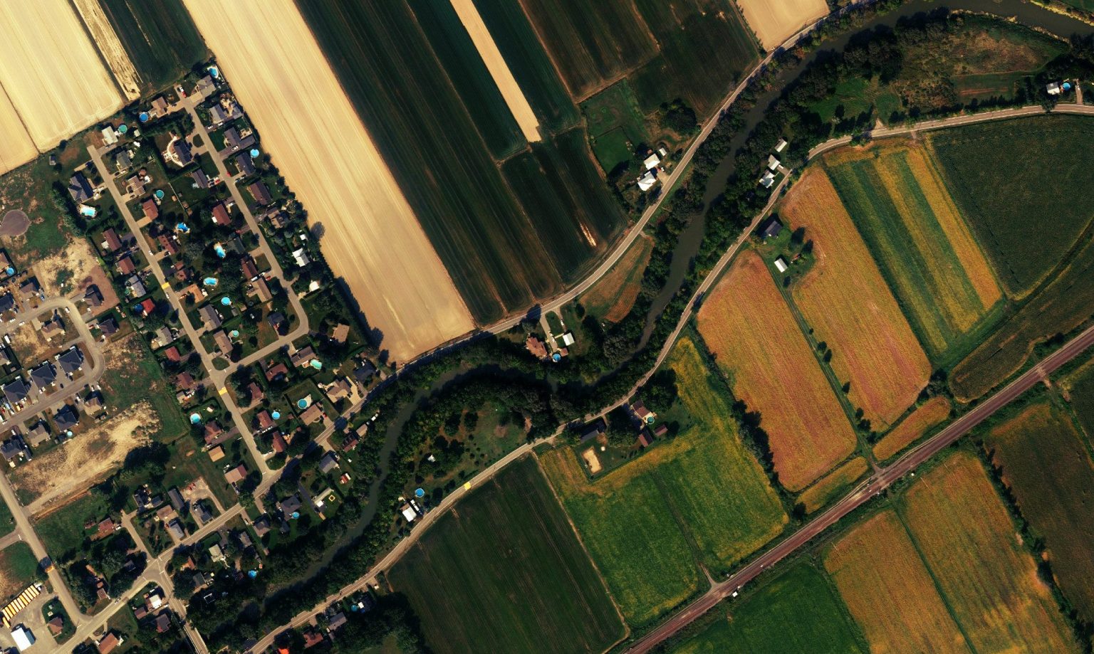 Maps that help teams set priorities, document and communicate.
Municipalities
Need to document a local decision?
Tell us about the context. Our team can define the right data and deliverable.