
Info-Sols
Explore cadastral, LiDAR terrain, soil, drainage, hydrography and historical imagery data in one place.
Data & maps
Public resources and ready-to-use data, with professional support when custom analysis is needed.
Resources
Explore cadastral, LiDAR terrain, soil, drainage, hydrography and historical imagery data in one place.
Digital terrain models, slopes, contour lines and analysis-ready derivatives.
Detailed aerial imagery showing your region and how it has changed.
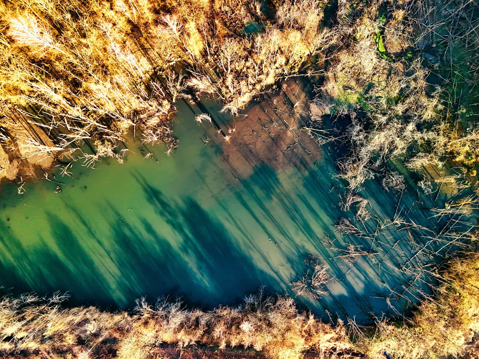
Waterways, watersheds and flow paths to better understand the terrain.
Regional analysis of tree canopy, connectivity and land-cover changes.
A starting point for finding existing resources, documents and platforms.
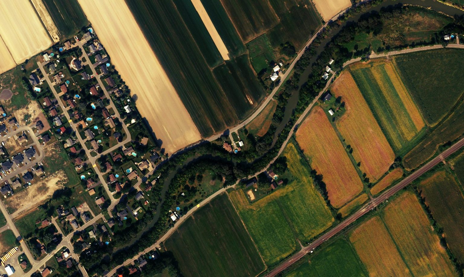 The right datasets, presented in a way that makes them useful.
From open data to custom analysis
A public resource can save time. A custom analysis can then identify constraints, compare scenarios and prepare a shareable deliverable.