
For utilities and networks
A reliable regional picture for planning your work.
Plan and track assets across large regions with consistent information shared among teams and organizations.
Share the right information
A consistent view of assets, corridors and constraints.
- Large-scale acquisition. LiDAR and imagery for large areas and corridors.
- Constraints brought together. Regional analysis to plan a corridor or portfolio of assets.
- Gouvernance durable. Standardized datasets, open technologies and knowledge transfer.
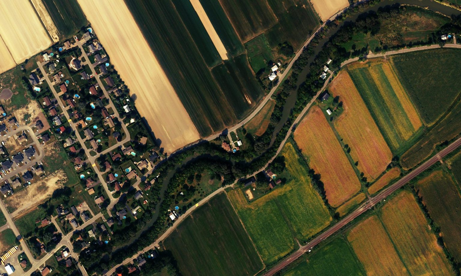 Consistent data and clear constraints to support multiple teams.
Expected result
Plan, share and keep moving forward.
Standardization creates value through consistent data, clear constraints and shared access for the right teams.
Networks
Need to map a corridor or portfolio of assets?
Tell us about the area, available sources and the teams that will use the results.