
For nonprofits and environmental organizations
Maps and analysis that advance your mission.
Document the land to protect, plan, raise awareness and share credible analysis with partners.
A clearer case
Data that supports protection, planning and advocacy.
- Ecological analysis. Connectivity, habitat, wetlands and riparian buffers.
- Maps that explain. Atlases and visuals for public outreach, partners and funding requests.
- Transfert de savoir. Training and support to help your team use its data.
Project examples
Make environmental priorities clear.
Connectivity, riparian buffer and wetland analysis can make regional priorities clearer and easier to share.
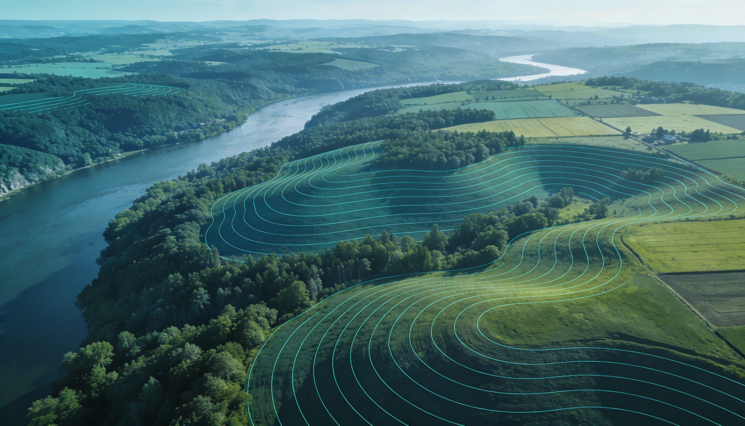 Ecological analysis that is easier to present and use.
Natural areas
Need to explain or document a priority?
Tell us about your mission, partners and the area to study.