
For agriculture
See your fields from every angle.
Understand soil, drainage, slope and field history to decide where to investigate and act.
Agricultural data
A visual overview to ask better questions in the field.
- Free Info-Sols. A public resource for exploring soil, drainage, slopes, flow and historical imagery.
- Focused analysis. Identify depressions, drainage issues, erosion and other areas to investigate.
- Independent teams. Training in Info-Sols and QGIS to make lasting use of your data.
Project example
Identify depressions and drainage issues.
Regional analysis can help farm advisors and producers better understand fields and prioritize areas to inspect.
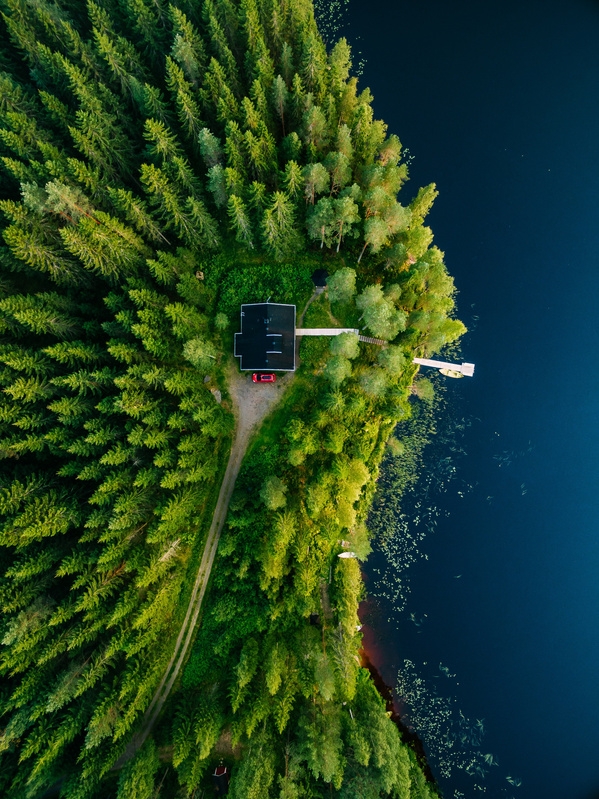 A clearer view of soils, slopes, drainage and historical imagery.
Agriculture
Need a clearer picture of a field or area?
Tell us what you need, where the area is and what issues you have observed.